
Hurricane Ridge topographic map
Interactive map
Click on the map to display elevation.
About this map
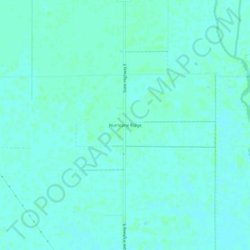
Name: Hurricane Ridge topographic map, elevation, terrain.
Average elevation: 282 ft
Minimum elevation: 272 ft
Maximum elevation: 289 ft
Other topographic maps
Click on a map to view its topography, its elevation and its terrain.
Portageville
United States > Missouri > New Madrid County
Portageville, New Madrid County, Missouri, United States
Average elevation: 282 ft
Jaywye
United States > Missouri > New Madrid County > Jaywye
Jaywye, New Madrid County, Missouri, United States
Average elevation: 279 ft