
Bobbili topographic map
Interactive map
Click on the map to display elevation.
About this map
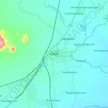
Name: Bobbili topographic map, elevation, terrain.
Location: Bobbili, Vizianagaram, Andhra Pradesh, 532558, India (18.53482 83.31226 18.61482 83.39226)
Average elevation: 427 ft
Minimum elevation: 308 ft
Maximum elevation: 1,296 ft
Bobbili is located at 18°34′00″N 83°22′00″E / 18.5667°N 83.3667°E / 18.5667; 83.3667. It has an average elevation of 103 metres (337 feet).