
Bukit Beruang topographic map
Interactive map
Click on the map to display elevation.
About this map
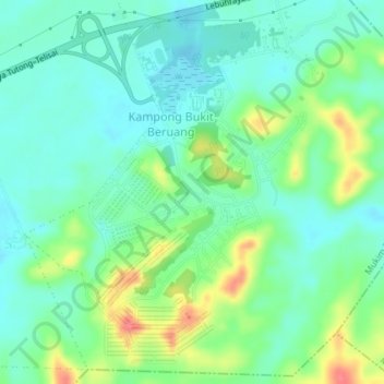
Name: Bukit Beruang topographic map, elevation, terrain.
Location: Bukit Beruang, Mukim Telisai, Tutong District, Brunei (4.71044 114.59640 4.74670 114.62189)
Average elevation: 85 ft
Minimum elevation: 13 ft
Maximum elevation: 243 ft
Other topographic maps
Click on a map to view its topography, its elevation and its terrain.
Kampong Bukit Beruang
Brunei > Tutong District > Bukit Beruang
Kampong Bukit Beruang, Bukit Beruang, Mukim Telisai, Tutong District, Brunei
Average elevation: 69 ft