
Cedar Hill Park topographic map
Interactive map
Click on the map to display elevation.
About this map
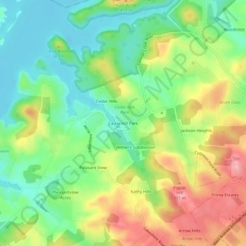
Name: Cedar Hill Park topographic map, elevation, terrain.
Location: Cedar Hill Park, Hamblen County, Tennessee, 37877, USA (36.17092 -83.44156 36.21092 -83.40156)
Average elevation: 1,204 ft
Minimum elevation: 1,037 ft
Maximum elevation: 1,437 ft