
Driggs topographic map
Interactive map
Click on the map to display elevation.
About this map
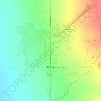
Name: Driggs topographic map, elevation, terrain.
Location: Driggs, Teton County, Idaho, United States (43.70848 -111.12690 43.75204 -111.08104)
Average elevation: 6,125 ft
Minimum elevation: 6,030 ft
Maximum elevation: 6,263 ft
Other topographic maps
Click on a map to view its topography, its elevation and its terrain.
Victor
United States > Idaho > Teton County
Victor, Teton County, Idaho, 83455, United States
Average elevation: 6,217 ft