
Matoury topographic map
Interactive map
Click on the map to display elevation.
About this map
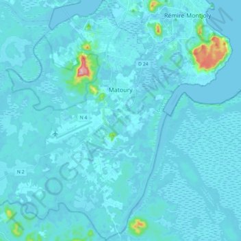
Name: Matoury topographic map, elevation, terrain.
Location: Matoury, Cayenne, French Guiana, 97351, France (4.73819 -52.41105 4.91576 -52.28780)
Average elevation: 36 ft
Minimum elevation: -13 ft
Maximum elevation: 758 ft