
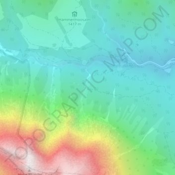
Gurgl topographic map
Interactive map
Click on the map to display elevation.
About this map
Name: Gurgl topographic map, elevation, terrain.
Location: Gurgl, Leutasch, Innsbruck-Land, Tirol, 6410, Österreich (47.34986 11.07497 47.36986 11.09497)
Average elevation: 5,262 ft
Minimum elevation: 3,947 ft
Maximum elevation: 8,688 ft