
Ötztal Alps topographic map
Interactive map
Click on the map to display elevation.
About this map
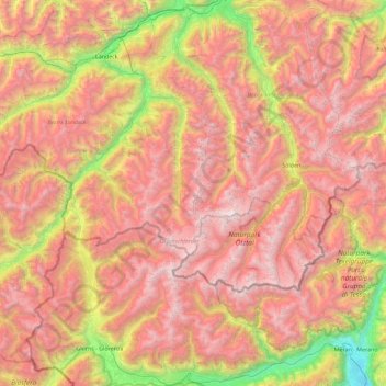
Name: Ötztal Alps topographic map, elevation, terrain.
Location: Ötztal Alps, Kaunertal, Landeck, Tyrol, Austria (46.61034 10.48532 47.23228 11.24258)
Average elevation: 6,883 ft
Minimum elevation: 843 ft
Maximum elevation: 12,215 ft