
Anandapuram topographic map
Interactive map
Click on the map to display elevation.
About this map
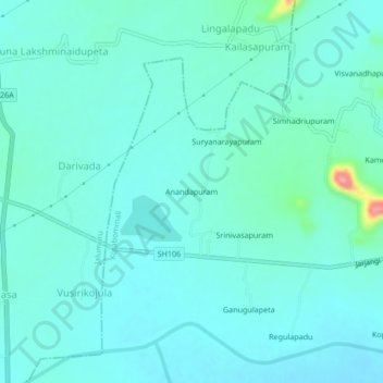
Name: Anandapuram topographic map, elevation, terrain.
Location: Anandapuram, Srikakulam, Andhra Pradesh, 532432, India (18.48614 84.06334 18.52614 84.10334)
Average elevation: 157 ft
Minimum elevation: 102 ft
Maximum elevation: 482 ft