
Point Douglas topographic map
Interactive map
Click on the map to display elevation.
About this map
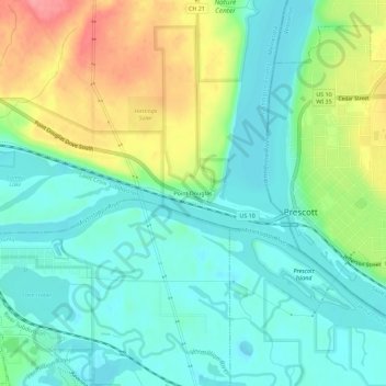
Name: Point Douglas topographic map, elevation, terrain.
Location: Point Douglas, Washington County, Minnesota, WI - 54021, USA (44.73108 -92.83798 44.77108 -92.79798)
Average elevation: 751 ft
Minimum elevation: 656 ft
Maximum elevation: 955 ft