
Shining Rock topographic map
Interactive map
Click on the map to display elevation.
About this map
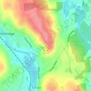
Name: Shining Rock topographic map, elevation, terrain.
Average elevation: 371 ft
Minimum elevation: 236 ft
Maximum elevation: 548 ft
Other topographic maps
Click on a map to view its topography, its elevation and its terrain.
Northbridge
United States > Massachusetts > Worcester County > Northbridge
Northbridge, Worcester County, Massachusetts, United States
Average elevation: 364 ft