
Dick topographic map
Interactive map
Click on the map to display elevation.
About this map
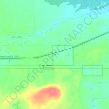
Name: Dick topographic map, elevation, terrain.
Location: Dick, Chippewa County, Michigan, United States (46.17085 -84.85145 46.21085 -84.81145)
Average elevation: 810 ft
Minimum elevation: 735 ft
Maximum elevation: 958 ft