
Ophir topographic map
Interactive map
Click on the map to display elevation.
About this map
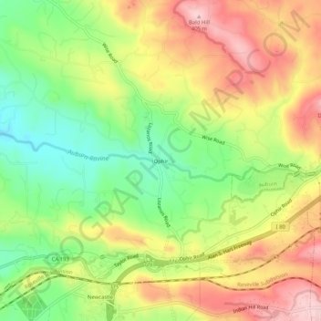
Name: Ophir topographic map, elevation, terrain.
Location: Ophir, Placer County, California, 95658, United States (38.87101 -121.14356 38.91101 -121.10356)
Average elevation: 935 ft
Minimum elevation: 568 ft
Maximum elevation: 1,322 ft