
Auburn topographic map
Interactive map
Click on the map to display elevation.
About this map
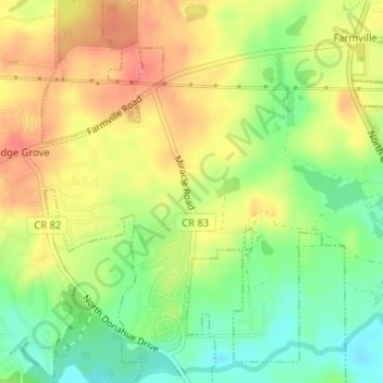
Name: Auburn topographic map, elevation, terrain.
Location: Auburn, Lee County, Alabama, USA (32.65482 -85.50399 32.65536 -85.50333)
Average elevation: 669 ft
Minimum elevation: 551 ft
Maximum elevation: 784 ft