
Trnava topographic map
Interactive map
Click on the map to display elevation.
About this map
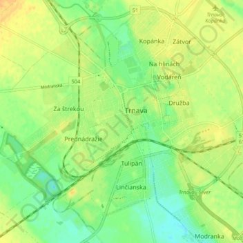
Name: Trnava topographic map, elevation, terrain.
Location: Trnava, Region of Trnava, Western Slovakia, Slovakia (48.34915 17.54039 48.39944 17.62150)
Average elevation: 495 ft
Minimum elevation: 446 ft
Maximum elevation: 535 ft