
西河 topographic map
Interactive map
Click on the map to display elevation.
About this map
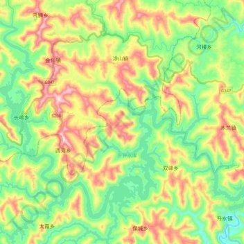
Name: 西河 topographic map, elevation, terrain.
Location: 西河, 南部县, 南部县 Nanbu, 南充市 / Nanchong, Sujuão, RPC (31.52391 105.54812 31.66127 105.75519)
Average elevation: 1,749 ft
Minimum elevation: 1,184 ft
Maximum elevation: 2,644 ft