
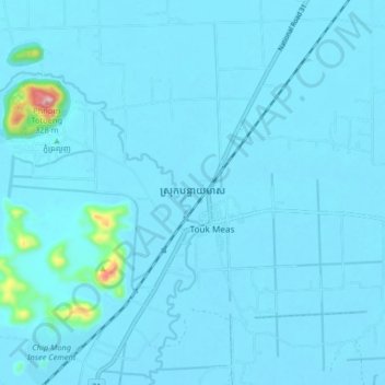
Banteay Meas topographic map
Interactive map
Click on the map to display elevation.
About this map
Name: Banteay Meas topographic map, elevation, terrain.
Location: Banteay Meas, Kampot, Cambodia (10.63320 104.51717 10.71320 104.59717)
Average elevation: 56 ft
Minimum elevation: 10 ft
Maximum elevation: 1,024 ft