
Lago di Zugo topographic map
Interactive map
Click on the map to display elevation.
About this map
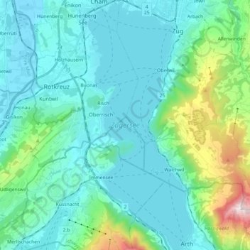
Name: Lago di Zugo topographic map, elevation, terrain.
Average elevation: 1,919 ft
Minimum elevation: 1,299 ft
Maximum elevation: 5,098 ft
Other topographic maps
Click on a map to view its topography, its elevation and its terrain.
Küssnacht (SZ)
Svizzera > Svitto > Küssnacht (SZ)
Küssnacht (SZ), Küssnacht, Svitto, Svizzera
Average elevation: 2,129 ft