
Castle Park topographic map
Interactive map
Click on the map to display elevation.
About this map
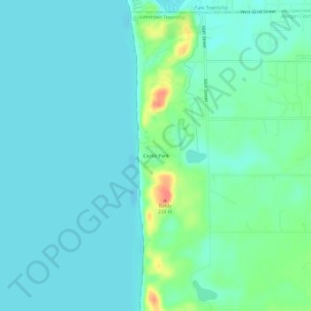
Name: Castle Park topographic map, elevation, terrain.
Location: Castle Park, Allegan County, Michigan, 49434, USA (42.72937 -86.22498 42.76937 -86.18498)
Average elevation: 607 ft
Minimum elevation: 564 ft
Maximum elevation: 768 ft