
Altus topographic map
Interactive map
Click on the map to display elevation.
About this map
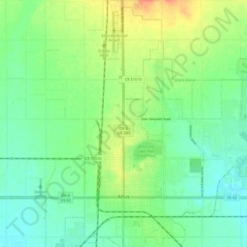
Name: Altus topographic map, elevation, terrain.
Location: Altus, Jackson County, Oklahoma, 73521, United States (34.61956 -99.35155 34.71050 -99.25505)
Average elevation: 1,391 ft
Minimum elevation: 1,339 ft
Maximum elevation: 1,480 ft