
Abasolo topographic map
Interactive map
Click on the map to display elevation.
About this map
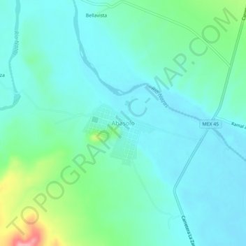
Name: Abasolo topographic map, elevation, terrain.
Location: Abasolo, Rodeo, Durango, México (25.29176 -104.67472 25.33176 -104.63472)
Average elevation: 4,514 ft
Minimum elevation: 4,429 ft
Maximum elevation: 4,846 ft