
Mohand topographic map
Interactive map
Click on the map to display elevation.
About this map
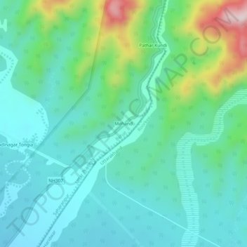
Name: Mohand topographic map, elevation, terrain.
Location: Mohand, Behat, Saharanpur, Uttar Pradesh, India (30.15981 77.88697 30.19981 77.92697)
Average elevation: 1,690 ft
Minimum elevation: 1,362 ft
Maximum elevation: 2,789 ft