
Kanam topographic map
Interactive map
Click on the map to display elevation.
About this map
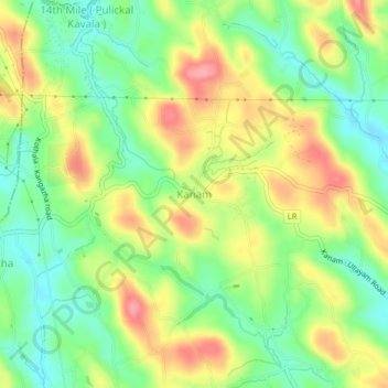
Name: Kanam topographic map, elevation, terrain.
Location: Kanam, Kottayam, Kerala, 686516, India (9.52102 76.67279 9.56102 76.71279)
Average elevation: 299 ft
Minimum elevation: 151 ft
Maximum elevation: 486 ft