
Kumati topographic map
Interactive map
Click on the map to display elevation.
About this map
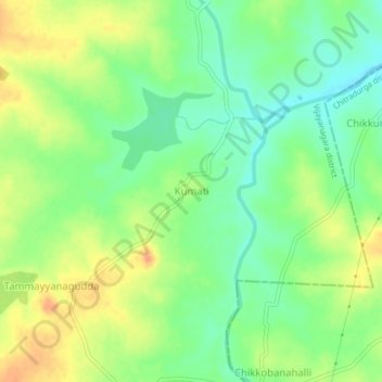
Name: Kumati topographic map, elevation, terrain.
Location: Kumati, Kudligi taluku, Bellary district, Karnataka, India (14.65734 76.57297 14.69734 76.61297)
Average elevation: 1,913 ft
Minimum elevation: 1,854 ft
Maximum elevation: 1,978 ft