
Snowden topographic map
Interactive map
Click on the map to display elevation.
About this map
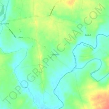
Name: Snowden topographic map, elevation, terrain.
Location: Snowden, Frederick County, Maryland, USA (39.64038 -77.29526 39.68038 -77.25526)
Average elevation: 397 ft
Minimum elevation: 331 ft
Maximum elevation: 515 ft