
Pijnven topographic map
Interactive map
Click on the map to display elevation.
About this map
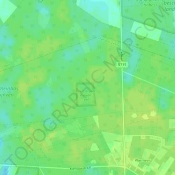
Name: Pijnven topographic map, elevation, terrain.
Location: Pijnven, Eksel, Hechtel-Eksel, Maaseik, Limburg, 3941, België (51.17352 5.35423 51.17422 5.35605)
Average elevation: 184 ft
Minimum elevation: 154 ft
Maximum elevation: 197 ft
Other topographic maps
Click on a map to view its topography, its elevation and its terrain.