
Limmat topographic map
Interactive map
Click on the map to display elevation.
About this map
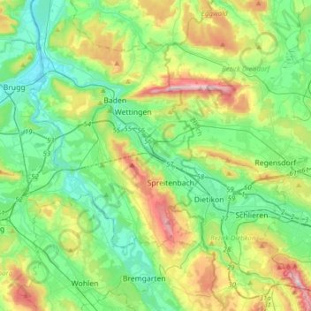
Name: Limmat topographic map, elevation, terrain.
Location: Limmat, Würenlos, Bezirk Baden, Aargau, Switzerland (47.36662 8.23557 47.50585 8.54403)
Average elevation: 1,565 ft
Minimum elevation: 1,070 ft
Maximum elevation: 2,799 ft