
Eltendorf topographic map
Interactive map
Click on the map to display elevation.
About this map
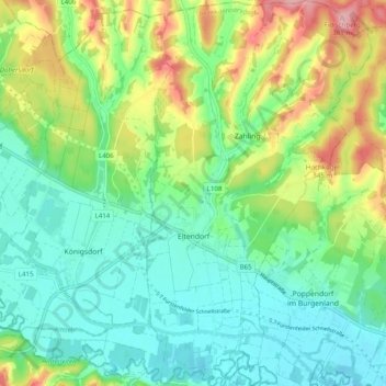
Name: Eltendorf topographic map, elevation, terrain.
Location: Eltendorf, Jennersdorf, Burgenland, 7562, Österreich (46.98123 16.18700 47.04845 16.24457)
Average elevation: 876 ft
Minimum elevation: 722 ft
Maximum elevation: 1,211 ft