
Coushatta topographic map
Interactive map
Click on the map to display elevation.
About this map
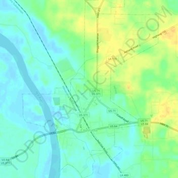
Name: Coushatta topographic map, elevation, terrain.
Location: Coushatta, Red River Parish, Louisiana, United States (32.00188 -93.36348 32.04995 -93.32005)
Average elevation: 154 ft
Minimum elevation: 118 ft
Maximum elevation: 207 ft