
Hā‘ena topographic map
Interactive map
Click on the map to display elevation.
About this map
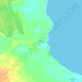
Name: Hā‘ena topographic map, elevation, terrain.
Location: Hā‘ena, Hawaiʻi County, Hawaii, USA (19.62440 -155.00567 19.66440 -154.96567)
Average elevation: 36 ft
Minimum elevation: 0 ft
Maximum elevation: 131 ft