
Coxs Creek topographic map
Interactive map
Click on the map to display elevation.
About this map
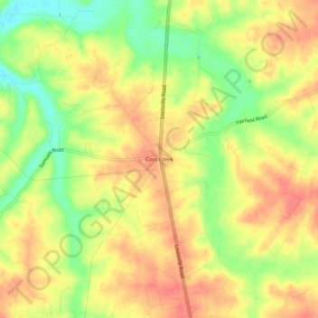
Name: Coxs Creek topographic map, elevation, terrain.
Location: Coxs Creek, Nelson County, Kentucky, 40013, USA (37.87867 -85.49357 37.91867 -85.45357)
Average elevation: 646 ft
Minimum elevation: 535 ft
Maximum elevation: 719 ft