
Lake Oconee topographic map
Interactive map
Click on the map to display elevation.
About this map
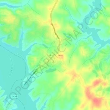
Name: Lake Oconee topographic map, elevation, terrain.
Location: Lake Oconee, Greene County, Georgia, USA (33.43830 -83.26396 33.47830 -83.22396)
Average elevation: 495 ft
Minimum elevation: 420 ft
Maximum elevation: 617 ft