
Stephen A Rudd Playground topographic map
Interactive map
Click on the map to display elevation.
About this map
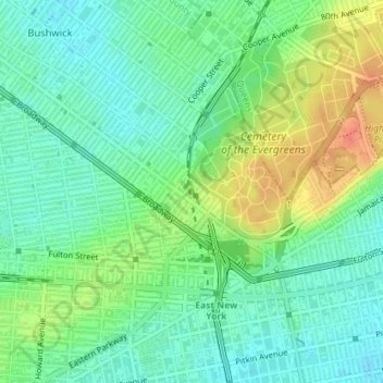
Name: Stephen A Rudd Playground topographic map, elevation, terrain.
Average elevation: 79 ft
Minimum elevation: 23 ft
Maximum elevation: 177 ft
Other topographic maps
Click on a map to view its topography, its elevation and its terrain.
Flushing Meadows-Corona Park
Flushing Meadows-Corona Park, Queens, Queens County, New York, 11355, USA
Average elevation: 33 ft
Madison Square Park
Madison Square Park, Flatiron District, Manhattan Community Board 5, Manhattan, New York County, New York, USA
Average elevation: 62 ft