
James topographic map
Interactive map
Click on the map to display elevation.
About this map
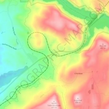
Name: James topographic map, elevation, terrain.
Location: James, Butte County, California, United States (39.63322 -121.56969 39.67322 -121.52969)
Average elevation: 1,027 ft
Minimum elevation: 463 ft
Maximum elevation: 1,585 ft