
Lamoine topographic map
Interactive map
Click on the map to display elevation.
About this map
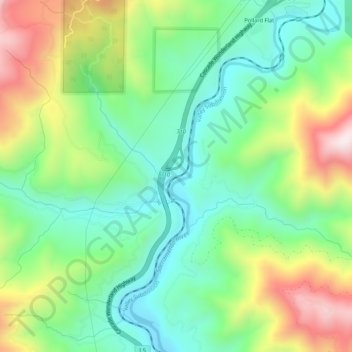
Name: Lamoine topographic map, elevation, terrain.
Location: Lamoine, Shasta County, California, United States (40.95793 -122.45085 40.99793 -122.41085)
Average elevation: 1,886 ft
Minimum elevation: 1,171 ft
Maximum elevation: 3,186 ft