
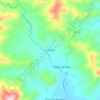
Chicharrón topographic map
Interactive map
Click on the map to display elevation.
About this map
Name: Chicharrón topographic map, elevation, terrain.
Location: Chicharrón, Constanza, La Vega, República Dominicana (18.93406 -70.70993 18.97406 -70.66993)
Average elevation: 4,370 ft
Minimum elevation: 4,006 ft
Maximum elevation: 5,223 ft