
State Park topographic map
Interactive map
Click on the map to display elevation.
About this map
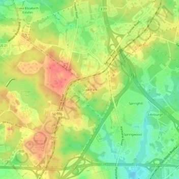
Name: State Park topographic map, elevation, terrain.
Location: State Park, Richland County, South Carolina, 29203S, USA (34.07071 -80.98620 34.11071 -80.94620)
Average elevation: 315 ft
Minimum elevation: 197 ft
Maximum elevation: 430 ft