Rushon topographic map
Interactive map
Click on the map to display elevation.
About this map
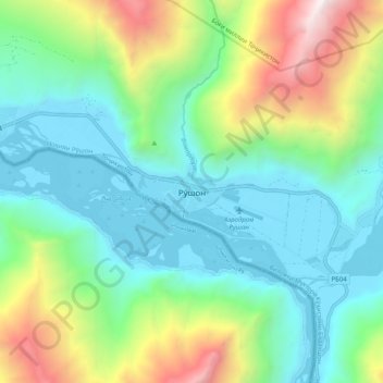
Name: Rushon topographic map, elevation, terrain.
Average elevation: 8,573 ft
Minimum elevation: 6,453 ft
Maximum elevation: 14,108 ft

Click on the map to display elevation.
Name: Rushon topographic map, elevation, terrain.
Average elevation: 8,573 ft
Minimum elevation: 6,453 ft
Maximum elevation: 14,108 ft