
Tiantangzhai topographic map
Interactive map
Click on the map to display elevation.
About this map
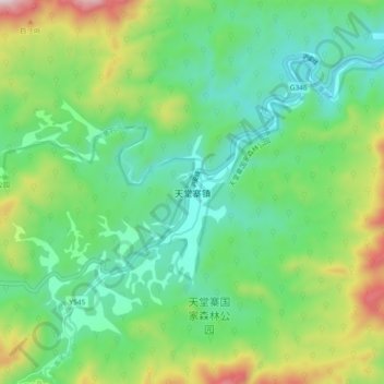
Name: Tiantangzhai topographic map, elevation, terrain.
Location: Tiantangzhai, Jinzhai County, Lu'an City, Anhui, PRC (31.16057 115.75951 31.24057 115.83951)
Average elevation: 2,188 ft
Minimum elevation: 1,391 ft
Maximum elevation: 4,055 ft