
Argalant topographic map
Interactive map
Click on the map to display elevation.
About this map
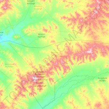
Name: Argalant topographic map, elevation, terrain.
Location: Argalant, Töv, 00976, Mongolia (47.69421 105.63849 47.98072 106.54037)
Average elevation: 4,367 ft
Minimum elevation: 3,504 ft
Maximum elevation: 6,033 ft
Other topographic maps
Click on a map to view its topography, its elevation and its terrain.