
Des Arc topographic map
Interactive map
Click on the map to display elevation.
About this map
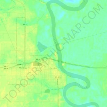
Name: Des Arc topographic map, elevation, terrain.
Location: Des Arc, Prairie County, Arkansas, 72040, United States (34.96773 -91.53417 34.99912 -91.47747)
Average elevation: 190 ft
Minimum elevation: 154 ft
Maximum elevation: 223 ft
Other topographic maps
Click on a map to view its topography, its elevation and its terrain.
Hickory Plains
United States > Arkansas > Prairie County
Hickory Plains, Prairie County, Arkansas, 72066, United States
Average elevation: 236 ft