
Piz Vadret topographic map
Interactive map
Click on the map to display elevation.
About this map
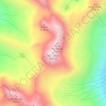
Name: Piz Vadret topographic map, elevation, terrain.
Location: Piz Vadret, La Punt-Chamues-ch, Maloja, Grigioni, 7522, Svizzera (46.50878 9.95085 46.50888 9.95095)
Average elevation: 9,104 ft
Minimum elevation: 7,615 ft
Maximum elevation: 10,420 ft