
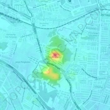
Bukit Tengah topographic map
Interactive map
Click on the map to display elevation.
About this map
Name: Bukit Tengah topographic map, elevation, terrain.
Average elevation: 23 ft
Minimum elevation: -3 ft
Maximum elevation: 187 ft
Other topographic maps
Click on a map to view its topography, its elevation and its terrain.
Sungai Rambai
Malaysia > Penang > Bukit Mertajam
Sungai Rambai, Bukit Mertajam, Seberang Perai Tengah, Province Wellesley, Penang, 14000, Malaysia
Average elevation: 16 ft