
Ban Chan topographic map
Interactive map
Click on the map to display elevation.
About this map
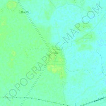
Name: Ban Chan topographic map, elevation, terrain.
Location: Ban Chan, Roi Et Province, Thailand (16.03012 103.83765 16.07012 103.87765)
Average elevation: 436 ft
Minimum elevation: 420 ft
Maximum elevation: 459 ft