
Lachute topographic map
Interactive map
Click on the map to display elevation.
About this map
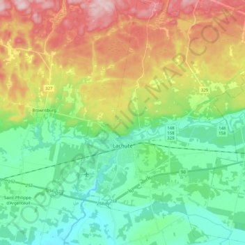
Name: Lachute topographic map, elevation, terrain.
Location: Lachute, Argenteuil, Laurentides, Quebec, Canada (45.59900 -74.37927 45.73962 -74.20395)
Average elevation: 417 ft
Minimum elevation: 105 ft
Maximum elevation: 978 ft