
Pfunds topographic map
Interactive map
Click on the map to display elevation.
About this map
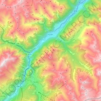
Name: Pfunds topographic map, elevation, terrain.
Location: Pfunds, Landeck, Tirol, 6542, Österreich (46.86430 10.45231 47.01944 10.68750)
Average elevation: 6,506 ft
Minimum elevation: 3,015 ft
Maximum elevation: 10,167 ft