
Mödling topographic map
Interactive map
Click on the map to display elevation.
About this map
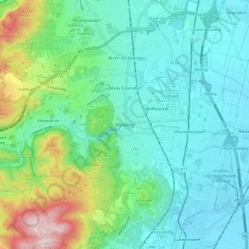
Name: Mödling topographic map, elevation, terrain.
Location: Mödling, Bezirk Mödling, Niederösterreich, 2340, Österreich (48.04559 16.24335 48.12559 16.32335)
Average elevation: 951 ft
Minimum elevation: 587 ft
Maximum elevation: 2,172 ft