
Envigado topographic map
Interactive map
Click on the map to display elevation.
About this map
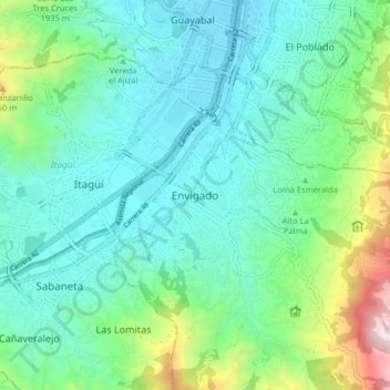
Name: Envigado topographic map, elevation, terrain.
Location: Envigado, Valle de Aburrá, Antioquia, 055421, Colombia (6.13013 -75.62742 6.21013 -75.54742)
Average elevation: 5,732 ft
Minimum elevation: 4,898 ft
Maximum elevation: 8,645 ft