
Landshut topographic map
Interactive map
Click on the map to display elevation.
About this map
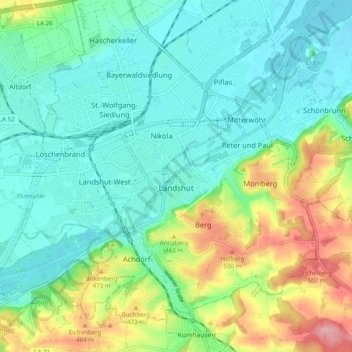
Name: Landshut topographic map, elevation, terrain.
Location: Landshut, Bavaria, Germany (48.51128 12.10935 48.56537 12.20771)
Average elevation: 1,385 ft
Minimum elevation: 1,253 ft
Maximum elevation: 1,719 ft