
Solingen topographic map
Interactive map
Click on the map to display elevation.
About this map
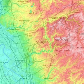
Name: Solingen topographic map, elevation, terrain.
Location: Solingen, North Rhine-Westphalia, 42651, Germany (51.01125 6.92390 51.33125 7.24390)
Average elevation: 554 ft
Minimum elevation: 102 ft
Maximum elevation: 1,247 ft